The northern state
1) Kalindikhal Pass Trek (5970 meters)
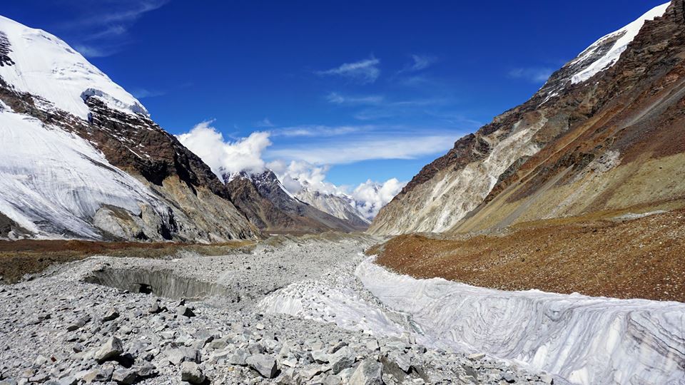
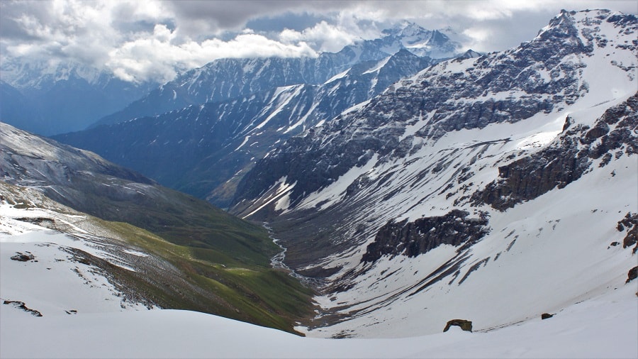
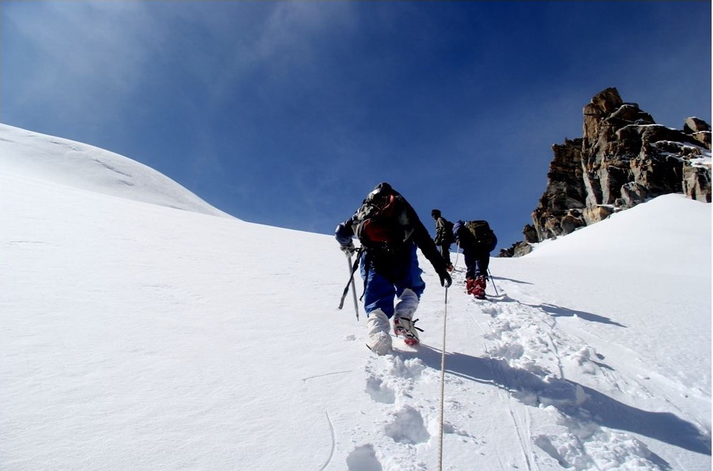
Passing over high pass at close to 6000 mt , KalindiKhal trek route is one among the many extremely challenging expedition-style trekking route. It is in the northern part of the spectacular Himalayan ranges of the Garhwal region. This arduous trek is said to be not fit for the faint hearted and also not recommended for the first time trekkers. Of course !! crossing moraine fields, scree landscapes, jumping crevasse in the glaciers region and circumventing across many lakes and valleys to finally reach its destination village is not an easy task while trekking. But, the rewards are high. Be it the tough trekking conditions, experience of climbing on steep and strenuous stretches and last but not the least an out of the world experience of trekking in the remotest part of the world and through the dense fauna and flora of region at its very best sublime state. It presents the best, for the best.
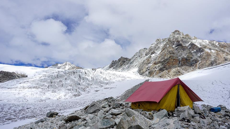
Kalindi Khal Base camp
The Kalindikhal pass being a high altitude expedition is mostly cutoff from from rest of world for 8 months of the year. So preparation for this trek begins during the Summers months that last from mid of June to August. The trek begins from the holy land of Gangotri and ends at an another important pilgrimage site of Badrinath. The whole highlight of this route is that it offers you a chance to visit nearly half of all of Garhwal region, right from the River Bhagirathi valley to the valley of River Alaknanda. The journey en route Kalindi Khal unfolds views of some of the beautiful and the highest and the most majestic peaks of the Indian Himalayan ranges. Some of them being the famous Mt Meru (6,630 m), Mt Shivling (6,543 m), Mt Nilkantha (6,506 m), Mt Chandra Parvat (6,728 m), Mt Kedar Dome (6,808 m), Mt Kamet (7,756 m) and Mt Mana (7,272 m).
PC : Anuj Karkare
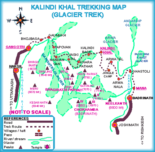
Map of the Kalindi Khal Trek route
Highest Altitude Reached : 5947 m / 19500 feet
Kalindikhal trek difficulty Grade : Challenging – Tough
Kalindikhal trek Duration : 20 Days
Best Season to do Kalindikhal Pass Trek : Mid June – July and August
2) Roopkund Lake Trek (5,029 metres)
Popularly known as the ‘Skeleton Lake’ trek, Roopkund Lake is an extremely popular trek in the Gharwal region. The trek is famous on account of the mystery surrounding the glacial lake where at an altitude of 14640 feets more than five hundred humans skeletons were found buried in the year of 1942 AD by park ranger, H K Madhwa. Many theories have came up in the coming years and many documentaries were filmed on this incidents. But each questions led to more questions being raised and many possible explanations were proposed, that further deepened its mystery. of the many explanatory theory proposed is that, these century old skeletal remains were of a group of pilgrims who got caught in an unfortunate blizzard and hailstrom at those heights and died near bank of the lake.
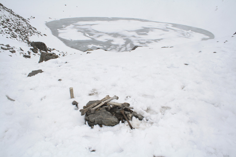
Roopkund Lake
The lake is midway placed on the pilgrimage to the Nanda Devi temple and is known to traverse through the mesmerizing grasslands fields of Bedni Bugyal and stunning snow-clad peaks, finally reaching the challenging terrain of Roopkund lake. The trekking trail to Roopkund lake also serves the common route for yet another challenging trek to Ronti Saddle pass. This challenging trek till the pass can only be reached after crossing the Roopkund lake, then crossing over the Junargali pass and reaching the Ronti Saddle Pass. Both of these treks are has its own awe for the trekkers and both being a challenging trek to complete this trail to roopkund lake is the busiest throughout the trekking season.
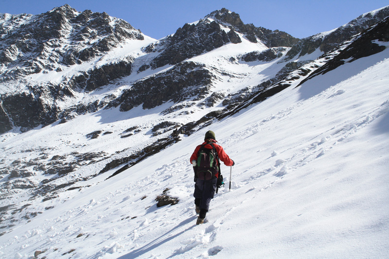
Roopkund lake trek begins from the small sleepy town of Lohajung. Then following uphills we reach the village of Didina, then the grasslands of Bedni bugiyal, Pathar Nachauni, then to the base camp of Bhaguwagasa and finally to Roopkund. It takes around seven to nine days to complete the whole trek where trekkers pass throughsome of the lushous deodar/pine tree forests,cascading streams of clean rivers, fields of snow filled mountains patches and see the whole of the Mt Trisul massif. It is an experience of its own which is highly recommended trek . READ MORE ON ROOPKUND LAKE TREK.
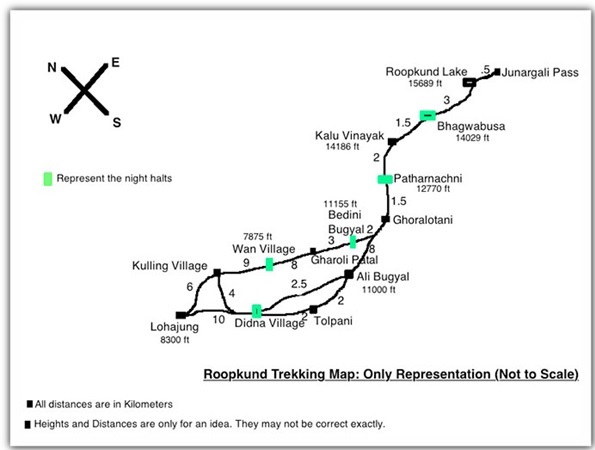
Roopkund Lake Trek Map
Highest Altitude Reached : 4463 m /14638 feet
Roopkund Lake trek difficulty Grade: Moderate to Challenging
Roopkund Lake trek Duration : 9 Days
Best Season to trek do Roopkund lake trek : May – June and September – October
3) Auden’s Col Trek (5490 meters)
Offering the finest multi-terrain challenge, Auden’s Col is a Holy Grail of the many trekking trails present in the Garhwal region in Uttarakhand. Lying at an altitude of 5,490 m, it is one among the toughest high altitude mountain passes. Auden’s Col got its name after a British Geographical Survey officer named John Bicknell Auden, who in the year of 1935 was the first to find an easy accessible path to reach it and then cross it.
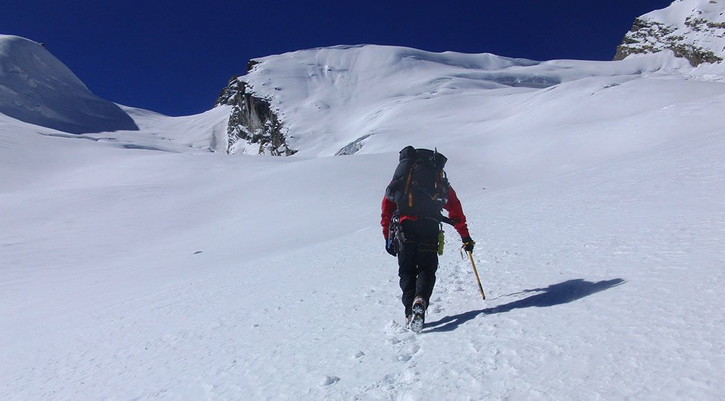
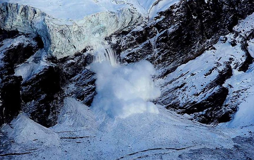
Embarking on its trek is truly a fascinating experience. As a small depression the Auden’s Col is situated on the connecting ridge between the two mighty massifs of Jogin I (6465 m) and Gangotri III (6577 m). The expedition begins by driving up the Bhagirathi valley right till the end of the road at Gangotri village. From there the col is approached from the Rudugaira glacier side which descends through a thick ice falls and finally through the crevasses ridden Khatling glacier. The trek to the Khatling glacier is although strenuous but it is all worth because of the amazingly stunning views. From there the track goes south where you will need to abseil the mighty Khatling glacier. The descend of the Khatling glacier is quite tough and lot of patience and coordination with fellow team mates is necessary to reach its base. From there after camping at the zero Point camp site you will again need to climb the steep walls to reach the Mayali pass. Rappelling down the steep snow mountains after Mayali Pass the trek ends on a fun-note sliding down the mountains to the next campsite near Vasuki Tal. The trail after the beautiful Vasuki Tal ascends again on to the steep ridge finally descending on the snow y patch reaching the Kedarnath village. Kedarnath village serves as the final point of the trek.
The usual and the recommended route taken for the Auden Col’s pass trek is as follows Gangotri – Nala Camp – Rudragaira BC – Gangotri BC – Auden’s Col BC – Auden’s Col – Khatling Glacier – Waterfall Camp/Zero Point – Chowki – Masar Tal – Mayali Pass – Vasuki Tal – Kedarnath – Gaurikund .
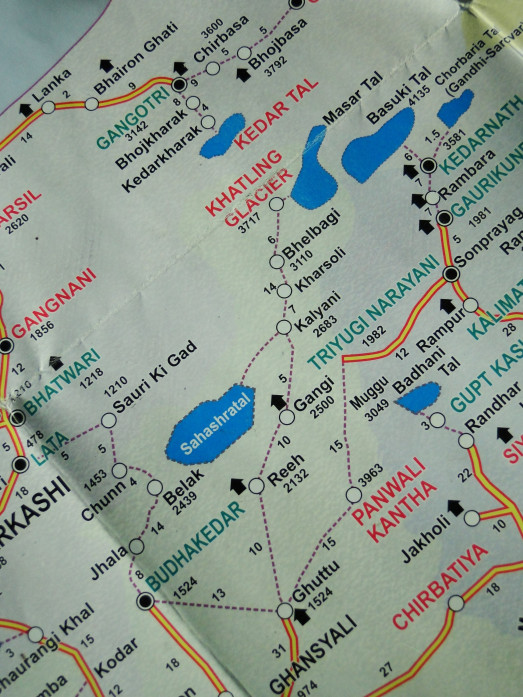
Auden’s Col trek Route Map
Highest Altitude Reached : 4250 m / 13940 feet
Difficulty Grade of Auden’s Col trek : Moderate to Challenging
Auden’s Col Trek Duration : 10 Days
Best Season to Trek Auden’s Col : Mid April – October
4) Nanda Devi Trek (4150 meters)
The trail to the base of India’s second highest peak, Mt Nanda Devi (7,816 m) has always been a grapevine to every hardcore trekker. After the closure of the Nanda Devi Inner Sanctuary region, the Nanda Devi East Base Camp Trek became the sole route to trekkers to attest the beauty of it’s twin peaks – Nanda Devi and Nanda Devi East. The enchanting meadows and the permanently snow capped peaks in the back drop are a highlight in the Nanda Devi base camp trek.
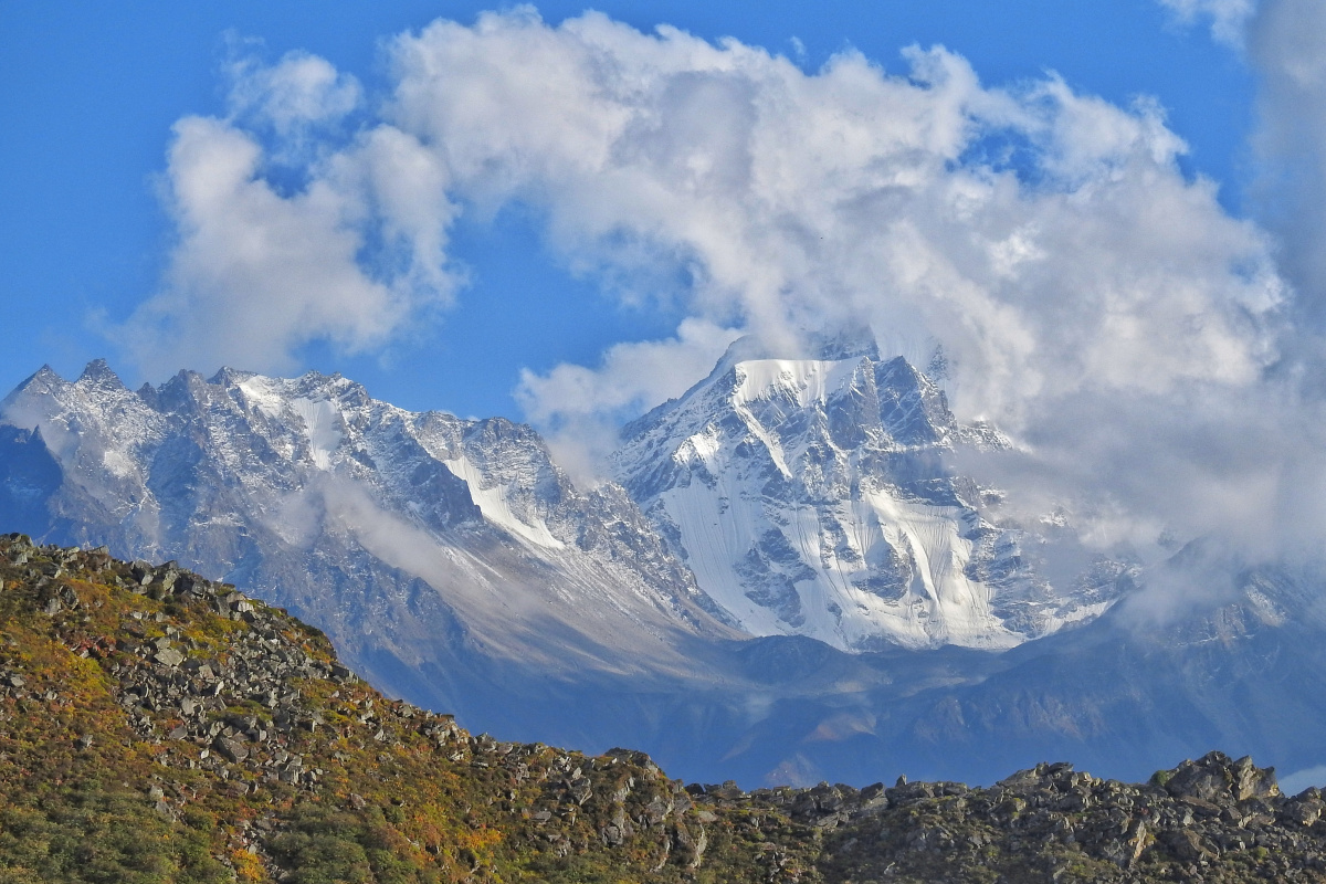
Being one of the most difficult treks in the Indian Himalayan region the journey demands setting up of several acclimatization bases, enroute. The actual trek to Mt Nanda Devi East Base Camp commences from the Lilam village at 1832 m. Lilam village is approximately 18 kilometers from the village of Munsyari which can only be reached from Haldwani town that is the third populous town in Uttarakhand. It is from the Lilam village that the trail after passing through a thick forest of bamboo and a few shepherd villages heads to reach the Bugdiar village at 2,700m. The trek from there goes uphill, cutting through several gorges and meadows dotted with Bhojpatra trees to reach the third base camp at the village of Martoli at 3,430 m. The first glimpse of the Mt Nanda Devi massif could be seen from the Martoli village. The journey through the thick forested region of Martoli village area thereafter leads to Milam village at 3,456m and thence heads till the Milam Glacier. Trekkers usually stay for 2 days at the Milam village to acclimatization at the higher ascent before heading towards the Milam Glacier. The trail further up from Milam glacier commences to yet another high mountain trail that finally reaches the Nanda Devi East Base Camp at 4,150 meters. One can explore the vicinity and capture the changing colors of the massif throughout the day and camp overnight that is surely gonna bedazzle you. The trails reverses from the base camp. Further downhill the trail leads on to the same route undertaken to reach Nanda Devi and finally reaching to the end of the trek at Munsyari village.
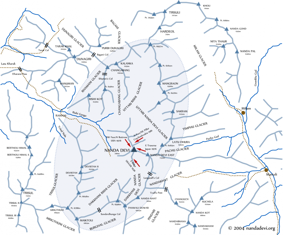
Highest Altitude Reached: 4150 m / 13615 feet
Difficulty Grade of Nandi Devi Trek : Challenging – Tough
Nanda Devi Trek Duration : 18 Days
Best Season to Trek Nandi Devi : Mid May to Early October
5) Rupin Pass Trek (4650 meters)
Rupin Pass 4650m is a high altitude trek in the state of Uttarakhand. Being a high altitude trek Rupin Pass trek is considered among one of the most beautiful high altitude trek for Trekking in India. The Rupin pass trek is fairly undulating, but has many pleasant surprises at every other corner. Be it the many meandering rivers, dense deodar forests, velvety meadows and permanently snow-clad mountain ranges this trek is perfect feast for the eyes.
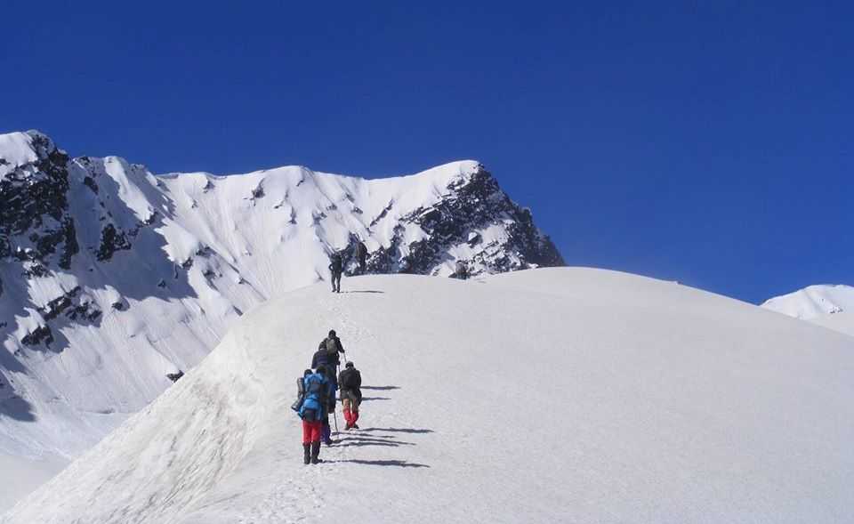
Rupin Pass Trek
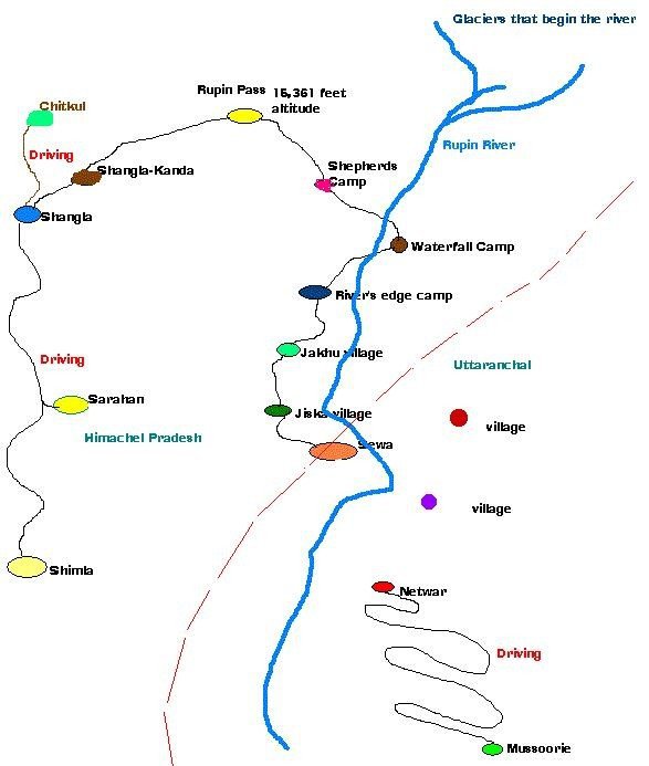
Rupin Pass trek Route Map
Highest Altitude Reached : 4,650 m / 15,250 feet
Difficulty Grade of Rupin’s Pass trek : Moderate
Rupin Pass trek Duration : 8 days
Best Season to do Rupin Pass Trek : Mid May to June and September to end of October
Cover pic PC : Abhijit
