Continuing from my last blog entry on Tarshar Marshar Lake Trek….
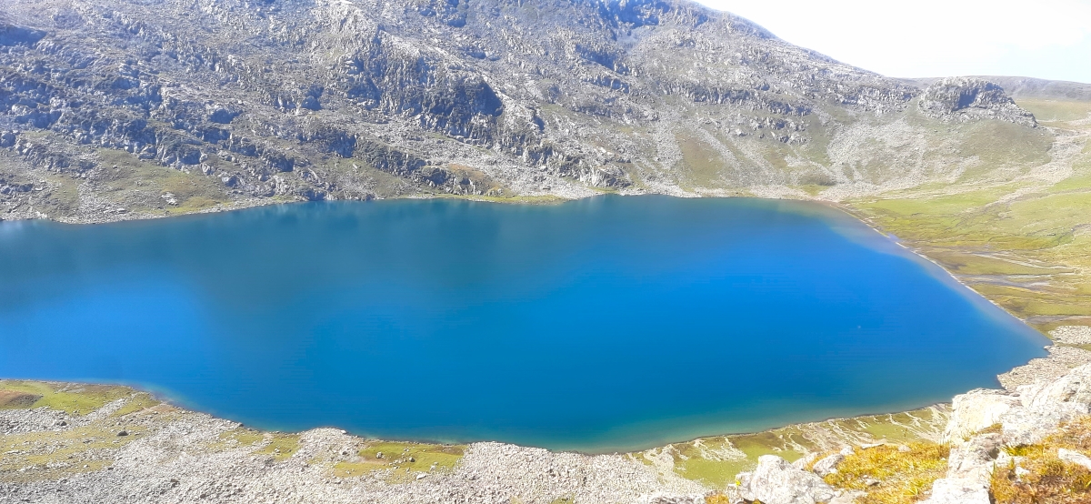
On our day 4 of our Tarshar Marshar Lake trek, today we will be moving on to the Sundersar Lake. And then circumventing the Sundersar Lake, we will reach the ridge from where we can have a panoramic view of the Marshar Lake. To view the Marsar Lake we have to reach the ridges. The lake is located at an altitude of 13450ft. Due to the prevailing climatic condition and harsh landscape, Marshar lake remains an elusive lake, that remains hidden throughout the year. And it can only be reached via Sundersar lake. Though a separate route is there to reach Marshar Lake, but due to unsafe trekking conditions and loose scree area, very less people stride on that route.
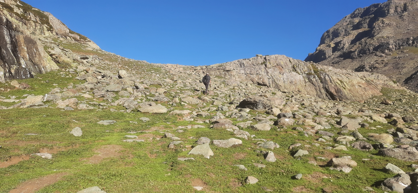
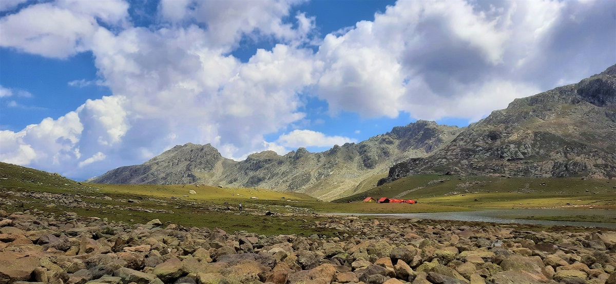
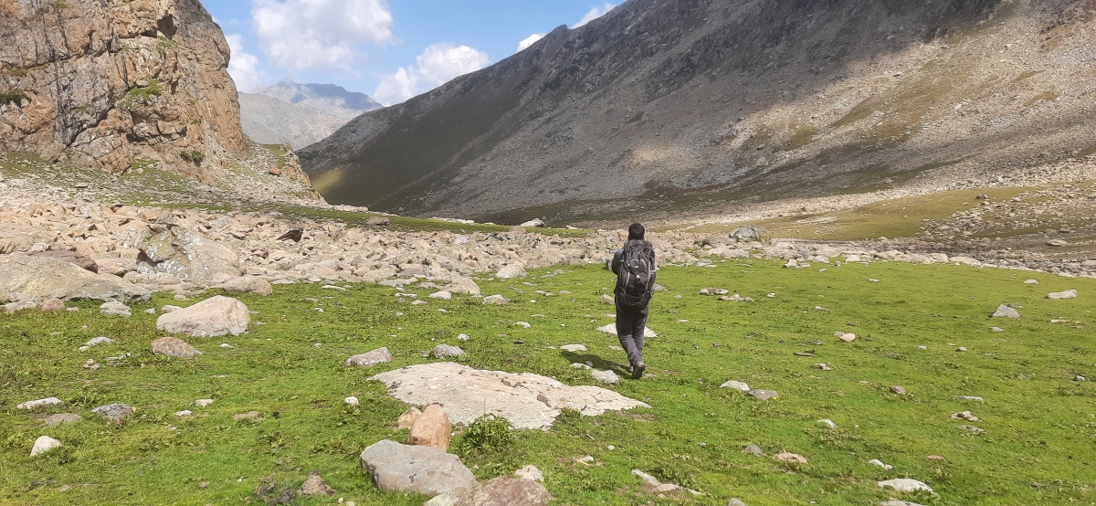
The distance to reach the Sundersar lake from our camp is around 5kms and takes near to 7 hours for the return trip. Though the distance is not much but the steep gradient of the topology slowed us down. The trail made us to cross several ridges on mountain streams and it took us some 2 hours to reach the Sundersar Lake. We were at an altitude of 4100m above sea level and suddenly we felt the wind to be bitterly chilling. The cold wind was just lashing us from all side. We spent some time acclimatizing to the sudden increase in altitude and to relax our cold and tired feets.
Sundersar Lake
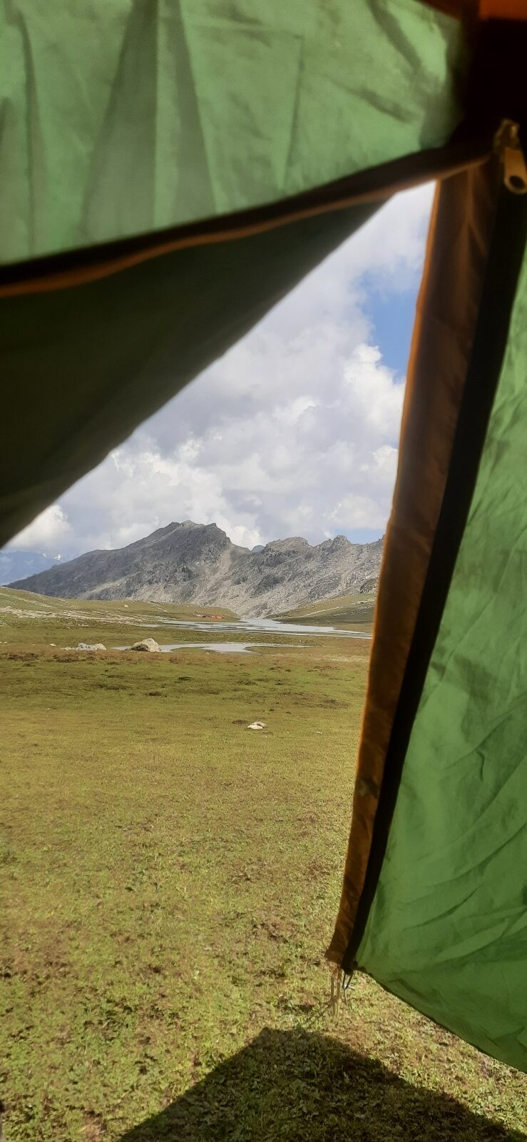
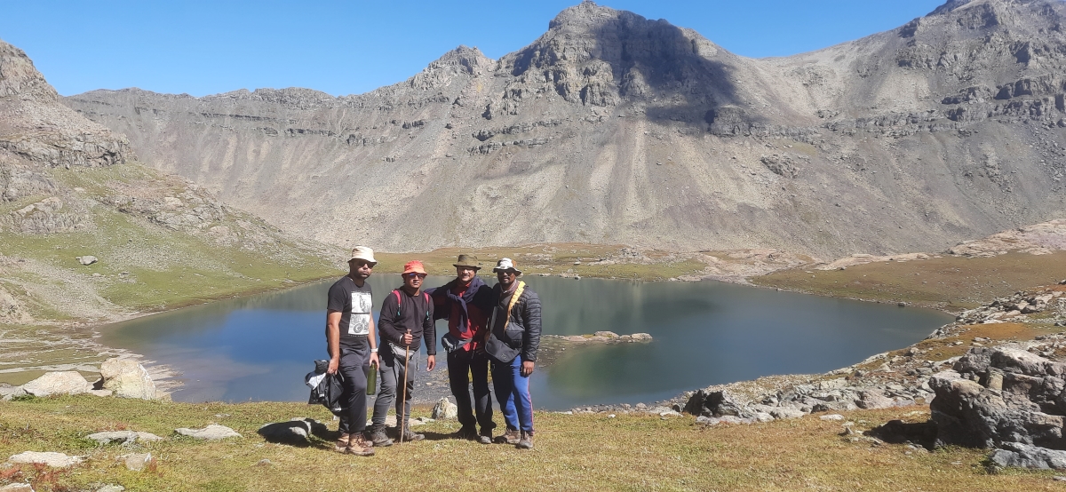
A small trail to the right leads to the trail up ahead to reach the ridge. After circumventing the steep trail lead us to the Ridge, from where we got an 360 degree view of the Marshar. After sweating and treading under the freezing condition for another 1 hour, we finally reached the ridge. The sprawling sky and the exhilarating vista before us was simply amazing. We reached our final trekking destination and rest the day went by soaking in the beauty of Marshar Lake.
Today’s Stats of the Trek(From Tarshar Lake camp To Sundersar Lake Camp)
Total Distance covered : Distance from Sundersar Lake camp to Marshar Lake Ridge : 5 Kms
Difficulty Level of Tarshar Marshar Lake Trek : Difficult.
Drinking Water availability : Near Sundersar base camp
Altitude gain on Day 3 : 12,500 ft to 13,450 ft
Best Time to do Tarshar Marshar Lake trek
Best time to do Tarshar Marshar lake trek is between end of Jul till mid of August. It is the most popular time for the trekker to do the trek. The adventurous ones can also plan for an expeditionary trek, during the winters. To keep them informed the temperature prevails between -30 till -40 deg Celsius, in the higher up regions of Marshar lake. So it most advised to know and have everything thing before venturing out during the harsh winters months.
How safe is the Tarshar Marshar lake trek?
The trek is absolutely safe for solo women and men to undertake in whole of Kashmir valley. Graded as moderate to difficult trek , Tarshar Marshar Lake Trek is among the best trek to do in the Kashmir Valley.
Reliable Trek Guides for Tarshar Marshar Lake trek
We were hosted by Wani brothers for our Tarshar Marshar Lake trek. He is a reliable and amazing person as an trek guide for the trek. He has his own chain of homestays and also boosts of a self sufficient team in the region for the Tarshar Marshar lake trek. We had an absolutely fantastic experience trekking with Mr Wani. You can reach him on mobile number +91 9469461214.
How To Reach Aru valley for the Tarshar Marshar Lake
To reach Aru valley the starting point for the Tarshar Marshar trek , you have to hire a private cab from Srinagar. The cab has a fixed charge of Rs 3500 ( as of Sep 2021) to reach Aru via Pahalgam from Srinagar.
Distance Guide for Reaching Aru Valley
The Google Map distance of Aru valley from Pahalgam : 27Kms
The Google Map distance of Aru valley from Srinagar : 100Kms
The Google Map distance of Aru valley from Anantnag : 53Kms
The Google Map distance of Aru valley from Jammu : 265Kms
The Google Map distance of Aru valley from Sonamarg : 198 Kms
The Google Map distance of Aru valley from Gulmarg : 150Kms

